|
| *****SWAAG_ID***** | 670 |
| Date Entered | 05/01/2013 |
| Updated on | 05/01/2013 |
| Recorded by | Tim Laurie |
| Category | Burial Mounds and Cairns |
| Record Type | Archaeology |
| Site Access | Public Footpath |
| Record Date | 09/12/2010 |
| Location | Piercebridge. Cliffe Park. |
| Civil Parish | Not known |
| Brit. National Grid | NZ 210 153 |
| Altitude | 80m |
| Geology | Drift over Permian Magnesian Limestone. |
| Record Name | Piercebridge. Cliff Park. Round Barrow Site B with cup marked stone. |
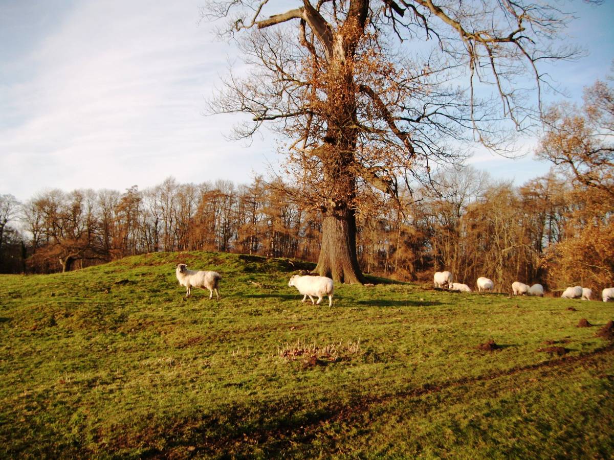
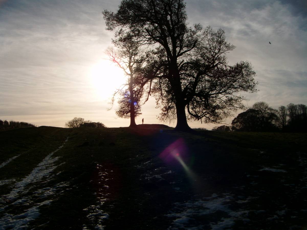
| Record Description | Round barrow,150m NE of Round barrow Site A, visible as a turf covered mound 28m diameter and 1.5m high. Disturbed by antiquarian digging which has revealed a river cobble core to the mound including a small cobble with at least two good and one possible cup marks, see photos. A single planted mature oak tree grows on the mound.
This round barrow is located very close to the hollow way which leads south from the bridge across the R. Tees and from the Roman Fort.
The large round barrow known as Smother Law (Carlbury) is visible, on high ground north of the Tees approximately 1km to the North East.
Reference:Young, R. 1980. An Inventory of Barrows in Co. Durham. Trans. Arch. and Archaeol. Soc. of Durham and Northumberland.1-16. |
| Dimensions | 28m diameter and 1.5m high |
| Additional Notes | This is the second of at least 12 records of round barrows located close to the River Tees upstream from Piercebridge. Several of these barrows are cup marked. |
| Image 1 ID | 3920 Click image to enlarge |
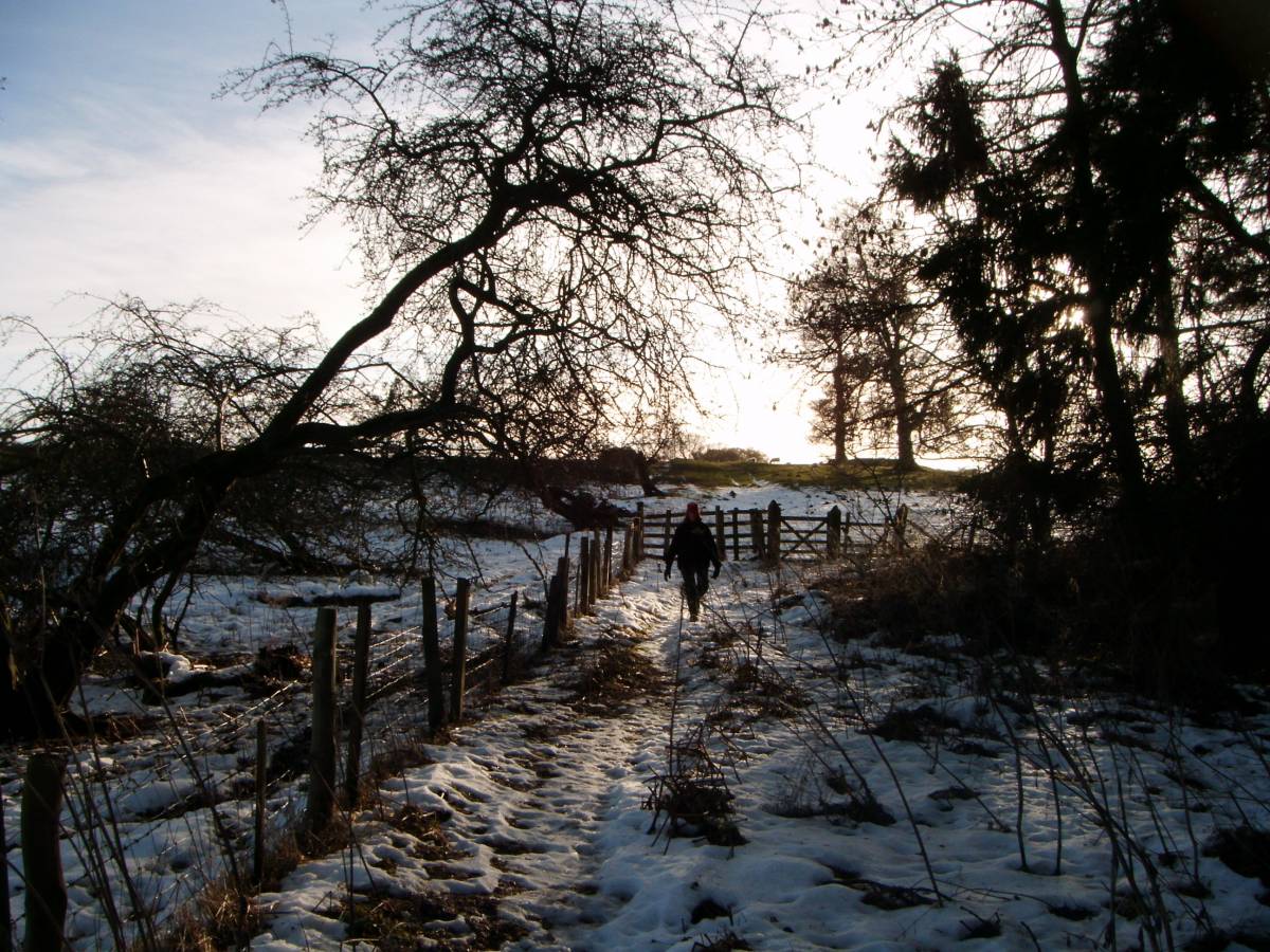
| Image 1 Description | Piercebridge, Cliffe Park. Round barrow Site B seen from the hollow way leading south from Piercebridge. |  |
| Image 2 ID | 3923 Click image to enlarge |
| Image 2 Description | Piercebridge, Cliffe Park. Round barrow Site B seen from the hollow way leading south from Piercebridge. |  |
| Image 3 ID | 3917 Click image to enlarge |
| Image 3 Description | |  |
| Image 4 ID | 3918 Click image to enlarge |
| Image 4 Description | | 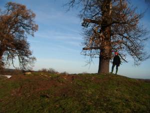 |
| Image 5 ID | 3919 Click image to enlarge |
| Image 5 Description | | 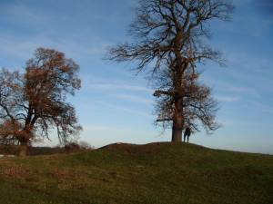 |
| Image 6 ID | 3921 Click image to enlarge |
| Image 6 Description | Cup marked stone revealed by earlier disturbance, by curious antequarians, of the mound | 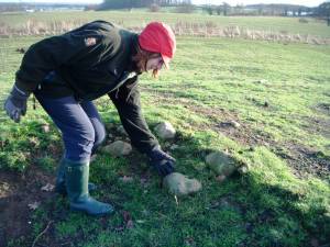 |
| Image 7 ID | 3922 Click image to enlarge |
| Image 7 Description | Cup marked river cobble. | 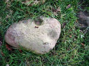 |
| Image 8 ID | 3925 Click image to enlarge |
| Image 8 Description | View to Site A from Site B Piercebridge 045 | 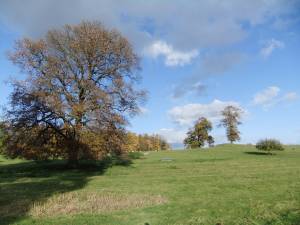 |
| Image 9 ID | 3926 Click image to enlarge |
| Image 9 Description | View to Site B from Site A Piercebridge 045 |  |
| Image 10 ID | 3927 Click image to enlarge |
| Image 10 Description | The Hollow Way. | 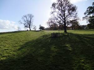 |